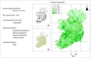
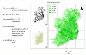
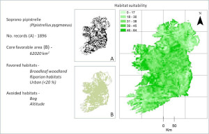
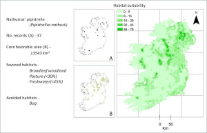
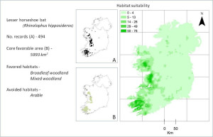
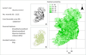
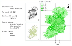
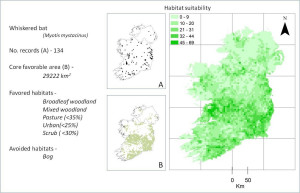
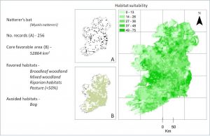
These are the maps produced in 2011 by the Centre for Irish Bat Research at Queens University Belfast. They carried out a study of all Irish bat records available between 2000 and 2009 and made predictions about which areas are most attractive to bats and where bats are most vulnerable.
The work was funded by 26 local authorities, NIEA and Bat Conservation Ireland.
Click on a map to view it full size.
